Ridges of Upper Bradley Fork February 25, 2013
Posted by Jenny in bushwhacking, hiking, Smoky Mountains.Tags: Appalachian Trail, Bradley Fork, Chasm Prong, Frowning Rock Prong, Gulf Prong, Hughes Ridge, Katalska Ridge, Pecks Corner
7 comments

These are the names I’ve given these places. I don’t know of anyone who’s explored here.

Blindside Ridge. What an amazing place!
Yesterday I set out to circle the entire Bradley Fork watershed. My goal: to see if I could get a good look at the ridges among the upper realms of the three major headwater streams: Chasm Prong, Frowning Rock Prong, and Gulf Prong.
The hike’s dimensions were 24.6 miles and somewhere around 5,000 total vertical feet. (I’d estimated 4,400 beforehand but the cumulative gain function on my altimeter said 5,260 vertical feet. This route has a lot of small ups and downs.) I started at Smokemont campground, took the Bradley Fork trail to Hughes Ridge to Pecks Corner, followed the A.T. across to what the Park calls the Dry Sluice Gap trail (former Richland Mountain trail), and down that to Bradley Fork to complete my circle.
The light was dim when I started hiking at 6:30, but just light enough that I didn’t need to use my headlamp. Because access to most of the campground was gated off, I had to walk its length to get to the Bradley trailhead. And once I reached the trail, there was no avoiding the tedium of its first four miles, as I slogged along a wide, flat gravel road beside the stream.
The saving grace is that most of the way I had views of one of the lovely big streams of the Smokies.

Lower Bradley Fork

Four miles of slogging. Ho, hum.
But keep in mind that the long, tedious approach is part of why the upper part of the watershed is so wild. People don’t want to go through all that to get there. And apparently Champion Fibre didn’t get up into the headwaters back in the logging days, either. Maps of old-growth forest at the time of the Park’s creation indicate that logging did not take place above the confluence of Chasm and Gulf Prongs, below which is given the Bradley Fork name. In the lower area, of course, Champion had a gigantic timbering operation that fed its mill in Canton.
Even after the Bradley Fork trail leaves the lower valley to climb up to Hughes Ridge, it uses a wide logging grade that only narrows to a footpath about halfway up. Everywhere, I saw evidence of the January floods. Water had scoured leaves, twigs, and topsoil from the trails, leaving rubble with debris piled up behind the stones.
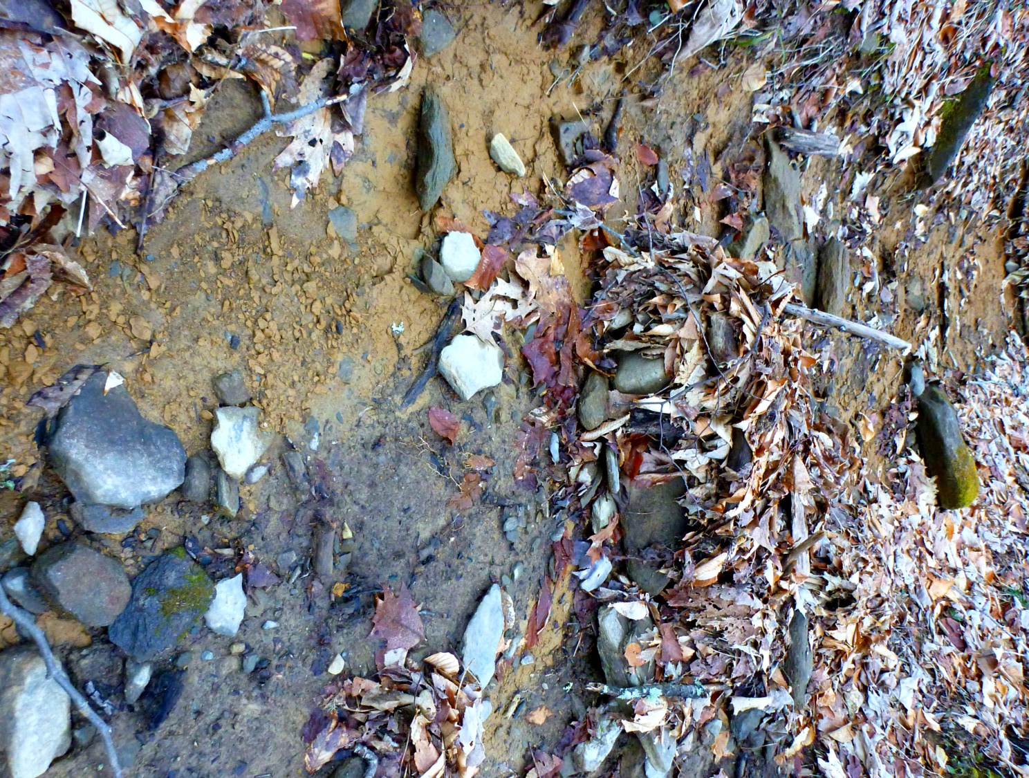
Evidence of flooding.
In places, the floods had deposited fine silt almost the consistency of quicksand, where a boot could sink in three or four inches deep.
Once on Hughes Ridge, I had good views across the upper Enloe Creek valley to Katalska Ridge, which miraculously avoided the trailbuilding of its neighbors on either side, Hughes and Hyatt. It is covered with red spruce from top to bottom, and I would like to explore there.
I began to encounter snow and ice. Pecks Corner looked wintry, and I put on my microspikes there for traction where snow packed down by footprints had turned icy.

Shelter at Peck’s Corner.
I kept the spikes on for eight miles. I ran into bare ground in sunny places, but the ice always returned. In most places things were crispy and crunchy—not much melting going on.
After I turned west on the A.T., I came to my first view of the upper ridges. Although I had been on this trail section once before, it was on a rainy day with zero visibility. Therefore everything that I could see off to the sides was new to me. But I’d been looking at it on maps for a long time.

Nice, but nothing too exciting until you start looking closer.

I could see landslides and rocky ridges.
I continued along the trail, passing big icicles.

Icicles along the trail.
I came to an old landslide. The Anakeesta rock and the whole aspect reminded me of slides on the Boulevard and Alum Cave trails on LeConte.

Landslide on Gulf Prong headwaters.
I soon came to Bradley’s View, which I’d been looking forward to. I spent a long time here, checking the features I saw against my map, using my compass to match things up. The hard part was that the map had no names that I could refer to for any of the ridges. So I gave them my own names.

Looking straight down from Bradley’s View.
Gulf Prong makes a great sweeping curve around a ridge, the top of which is rocky and impossible to see from most places. I called it Hidden Ridge. The reverse-question-mark shape of the stream reminds me of Raven Fork as it swoops around Breakneck Ridge. And certain patterns repeat in the ridges as well as the streams.

Hidden Ridge: look at the narrow rocky spine that goes across, another ridge close behind it, Hughes Ridge in the background.

Location of Hidden Ridge.

The Castle is what I call the blocky heath-covered point that rises from Gulf Prong near the Frowning Rock junction.
To the west, Fortress Ridge divides Chasm Prong and Frowning Rock Prong.

Fortress Ridge is the long bumpy divide between Chasm and Frowning Rock, shown here below Richland Mountain.

Blindside Ridge, Fishtail Ridge behind it.
I called the second ridge over to the west Fishtail because of the way it terminates in two points. My view of it from this angle was partially obstructed, but the ridge beyond that—Frowning Rock Ridge—could not be seen at all. On the map at the top of this post, you’ll see its very strange-looking contours, coming to a pronounced spine with impressively vertical sides. As it turned out, I could not get a good view of Frowning Rock Ridge from any point near the trail. It would have to be seen from Fishtail Ridge or Fortress Ridge.
At last I left Bradley’s View and continued west. Looking back beyond Peck’s, I could see Eagle Rocks, which I hope to visit (via Eagle Rocks Prong) later this year.

Telephoto view of Eagle Rocks.

View down from close to Blindside – A.T. junction.
I followed the A.T. where it wends around the north side of Laurel Top. The only other time I’ve been here was on the famous October 2009 backpack up and over Woolly Tops, when we ended up exiting the Eagle Rocks drainage to Laurel Top because of heavy rains.

Junction of Laurel/Woolly ridge with A.T.

Same place, 2009.
Before yesterday, I’d never been on the stretch of A.T. from Laurel Top west to Porters Gap. You might think that’s an odd gap in my trail experience—no side trails join the A.T. at those two points. Yes, those are the odd sorts of things that happen with bushwhackers.
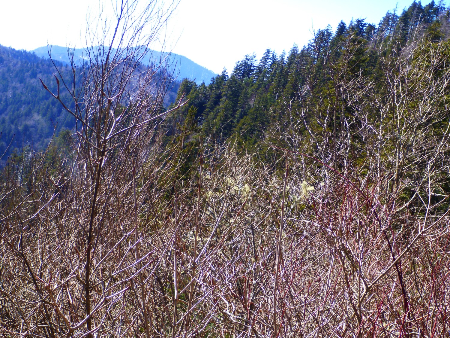
As I came around the west side of Laurel Top to join the main ridge again, I had a view of the upper west flank of Fishtail.

Upper West Fishtail.
I explored off the south side of the trail to see if I could get a good view of Frowning Rock Ridge, which joins the A.T. very close to this point. I could see the topmost spruce-covered portion but not the interesting portion of bare rock.
Spruce-covered top portion of Frowning Rock Ridge.
I’d hoped to do a downclimb of the ridge just far enough to reach the rocky section, but given the time, I decided this was too much to add on to my trail marathon.
I continued along the A.T., passing False Gap and Porters Gap. Along the way I met two separate thru-hikers (early birds!), trail maintainer Pete Berntsen with the Smoky Mountains Hiking Club, out with his hand saw (dedicated!), and two other guys backpacking.
Glancing down the familiar top chute of Dry Sluice manway, I turned off on the Dry Sluice trail. I wonder if the Park calls it by that name so that people will stop talking about and using the manway of the same name? But I have to admit the former “Richland Mountain” name was confusing too, as the current trail leaves the old CCC Richland trail to drop into the Bradley valley along Tennessee Branch.
I still had nine miles to go, and I officially entered Death March mode at this point, checking my watch, estimating my arrival time for each junction. When I reached Bradley Fork, I made an effort to admire the stream as I retraced those long four miles along it. And it was beautiful, but I was too glazed over to appreciate it.
I’ve been talking to people over the past weeks about the Bradley Fork headwaters. It’s interesting that despite my picking the brains of various victims and reaching out to old-timer bushwacking types who’ve explored on the North Carolina side, I haven’t come up with a single person so far who’s journeyed up those streams, climbed up those ridges, ventured into that mysterious region. Let me know if you have.
The Bradley headwaters could be reached by going out the A.T. from Newfound and dropping down, or going up and over from False Gap Prong and/or Kalanu Prong in the Greenbrier, but the “righteous” way is to go up Bradley. That probably means camping at the Cabin Flats backcountry site, up at that four-mile point. Maybe with a fishing rod or a deck of cards, that wouldn’t be so bad…

Snow on the A.T.
Above LeConte February 5, 2013
Posted by Jenny in nature, Smoky Mountains.Tags: Cannon Creek, Little Duck Hawk, Mt. LeConte, Myrtle Point, peregrine falcon
4 comments

Peregrine falcon
In dim swirls of sleep I dreamed I saw the top of Mt. LeConte from high above. In the way that dreams unfold without a pause or question, I knew I was a peregrine. I could hear the air flow evenly beneath my wings as I dipped to circle toward the mountain.
Sharp early-morning sunlight cast sheet-metal shadows. Every tree-furred valley folded neatly into place. Now I saw the streams that glimmered in the pouring light, the pools and waterfalls. I could see the water glide beneath the branching architecture of the trees.
As I banked and turned at Myrtle Point, I passed the glint of Cannon Creek. I saw its source quite clearly: tiny droplets percolating one by one from damp moss cushions in a balsam’s dark-blue shadow. I counted off LeConte’s twelve streams, turned sharp, and rode the air that flowed across the backs of mountains.
* * *

Little Duck Hawk, a nesting place for peregrines on Mt. LeConte
Bushwhack to Blackrock February 2, 2013
Posted by Jenny in bushwhacking, hiking, nature.Tags: Blackrock, Fisher Creek, Plott Balsams
6 comments

The ice around the waterfall transformed it into a giant chandelier.
Today my hiking companion Chris and I followed the right fork of the East Fork of Fisher Creek and nearby ridges to reach the crest of the Plott Balsam ridge just west of Blackrock. The day turned out more wintry than we expected, but the ice formations around the stream made it worthwhile to hike on a cold day.
We followed my usual shortcut to the East Fork trail and left the trail below the big waterfall. We took pictures as we climbed up right next to the falls. As explained in my earlier post, there is no side trail to the falls except to a point at the top where you can’t actually see the water cascading down.

Ice on rhodo.

Nice icicles.

Roundish ice formation.

Looking down from near the top.
The junction of the left and right forks of the East Fork is just above the waterfall. We headed up to the right, staying in or near the stream.

Junction of left and right forks.

Branch over right fork.
We discovered another cascade at around 4500′.

Upper cascade.
We climbed up to a rock outcrop at the upper lip of the cascade and looked down the stream valley.

View down the stream valley.
We got into thick laurel near the stream, so angled over to a broad ridge that led across the old grade from Parris Branch and up to the cross-trail that people use to get from the West or East Fork trails to the steep rough path that leads up to the crest of the Plotts. We went past that trail looking for a certain fork in the old logging grades that would serve as a jumping off point to head up to Blackrock. But the fork was hidden in the laurel (we found it on our way back down), and we just started climbing up the slope. We ended up hitting the trail just where it emerges on the main ridgecrest and did the short walk over to the summit of Blackrock.
The forecast had been for “chance of snow” in the late afternoon, but it was already snowing fairly hard when we reached the summit. The top was socked in and blasted by winds, so we didn’t linger there very long, but retreated to a cave for a snack break. We descended to the trailhead to find road conditions deteriorating and snowy winter weather taking over the landscape. It was a fine outing.

Chris on Blackrock summit.

