Smith Branch manway April 17, 2015
Posted by Jenny in bushwhacking, hiking, Smoky Mountains.Tags: CCC camp, Kephart Prong, manways, Richland Mountain, Smith Branch manway
trackback
Every year the unmaintained trails of the Smokies get harder to follow. Many of them are old CCC trails constructed in the 30s and 40s. For various reasons the Park Service has let them go. The Smith Branch trail connected the big CCC camp at Kephart Prong with the former Richland Mountain trail. The latter no longer exists, except for the upper section above the Grassy Branch junction which the Park Service has redesignated as the so-called Dry Sluice trail.
Just in the past two years, this manway has become harder to follow. I have created a very rough map to show the routes I discuss below.
As you all know, I don’t use a GPS, so the routes above are hand-drawn based on my noting of various landmarks with compass and altimeter along the way. I’ve put in a question mark at a particularly dubious area. The map above is the current USGS map, which does not show the Smith Branch manway. The 1949 map below does show what was then a trail, but it is so lacking in detail as to be practically useless.
Two years ago Cindy McJunkin and I went up the manway to scout a route suggested by Al Watson. The idea was to go up Smith Branch and follow the Richland Mountain crest to another manway at Will Branch, and take that back down to the Luftee. We ended up coming down Shell Bark Branch instead of Will Branch, but that’s another story.
Cindy and I successfully followed the manway to point “V” on the upper map, where there is a sharp switchback to the left hidden by rhodo. We missed the switchback and continued straight up the stream along a faint path with pruning cuts that indicated others had been that way as well. (Route shown in red on upper map.) The path gradually faded out and we realized we’d strayed off the manway, but we just continued upward through open woods and arrived without any trouble exactly where we needed to be, the col between Point 4891 and Point 4768. Then we continued southeast along the Richland crest.
I went back on my own a couple of months after that to see if I could correctly follow the manway. I made exactly the same mistake going up—missed the switchback and continued up the creek. But this time, instead of heading down Richland Mountain, I followed the Smith manway back down from the col so that I could see exactly where it went. It’s easy to find where it hits the ridgetop, and the upper section is hard to lose, though you have blowdowns and rhodo to deal with. I managed to follow the manway all the way down to point “V” and finally saw where the switchback comes in.
So this month I invited Ken Wise to join me to go up the Smith manway and come back down the same way. I didn’t anticipate any serious problems. But… we did have problems!
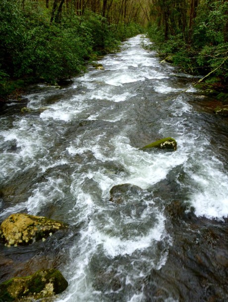
We’ve been getting a lot of rain the past few days, and the Luftee was running high where we crossed it on the Kephart Prong bridge. We passed a group of hikers going up the trail, and they must have been startled to see us suddenly veer off the trail and head into the woods. We picked up the manway without any trouble near a hog trap and followed it around into the Smith Branch valley.
Here I made a dumb mistake. I knew we had to look out for a switchback before long, but I started looking too soon, and when I saw a herd path heading up to the left I thought it must be people shortcutting to the higher trail section. Wrong! After wandering a bit, we corrected our course and continued past some large new blowdowns until we reached this first switchback.
We continued along with just a few moments of hesitation to point “V”, which I easily recognized this time. The path was clear until we came to a big conglomeration of blowdowns—about the same scale as the one shown in the top photo—and there we lost the manway.
Shouldn’t be that hard, right? These old CCC trails don’t meander around aimlessly. They keep along the same course until they make a switchback, then continue along steadily in the new direction.
But we could not find it. Ken went down, I went up, we went backwards and forwards, and finally I suggested we just follow a nearby ridge up to the Richland crest. Point “W” on the map is where we lost the manway, and point “X” shows the ridge we followed. After a steep push to get onto the ridge, it was fairly easy going except for patches of briers. We followed a bear path and found something really strange—a beer can that had been punctured by bear teeth. Had the bear carried the beer in its jaws from some other point? Had someone brought the beer up there and left it on this obscure side ridge? A mystery.
Finally we reached the magnificent summit of Point 4891. You can see its breathtaking alpine characteristics.
From there it is an easy walk down to the col, provided you go in the correct direction. I was glad I took a compass bearing from the map, because it’s easy to get turned around up there.
It started raining as we had lunch. We layered up and eventually headed down the upper manway. We passed the large blowdown shown at top.
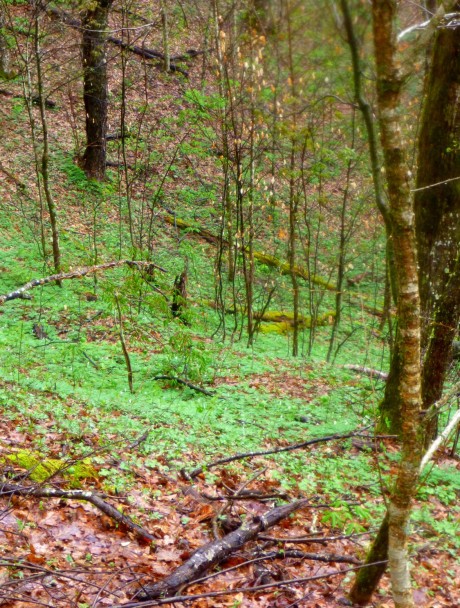
The going was easy enough that I could stop and enjoy the wildflowers.
We encountered the usual blowdowns but made good progress for a while.
Then we got into rhodo, and we lost the manway again. Same deal: Ken went up and I went down, we went back and forth looking for it, and couldn’t find it. For lack of a better alternative, we kept heading in the same direction. We made a detour into a terrible brier thicket. It was about this time that Ken started joking that the sawbriers were making fun of us. Ha, ha!
(He later spoke in an email of “out-stretched welcoming arms of hundreds of over-friendly Smoky Mountain sawbriers.” Yes, that about sums it up.)
Eventually we headed straight down through a patch of open woods. We knew that if worst came to worst, we could just go down to Smith Branch and pick up the manway there. It’s this stretch on the map that has a question mark next to it, because I don’t know exactly the route we took.
After dropping down a few hundred feet, what d’you know, we found the manway again. Followed it onto a ridge, lost it, found it again. Now we were angling southwest and crossed a tributary of Smith.
Eventually we came to a trail section just below point “W” and made our way down to point “V.” From here on out the going was pretty straightforward… just a lot of work dealing with the continuous blowdowns and overhanging rhodo. That sort of thing gets kinda old when you’ve been doing it all day.
We reached the CCC camp just as a heavy rain began to fall. An interesting excursion. I swear there’s a Bermuda triangle in there somewhere.


Great post Jenny. I remember the other post you did on this as I had asked you about the waterfall on Smith Branch. That is one of those ones still lingering on the list!
To be honest, I am still not sure about the waterfall. Several years back I read “yellowhammer’s” description of the waterfall. Tom Dunigan includes it in his great TN Landforms website. There is a beautiful cascade nearly opposite the “Point V” I talk about in this blog. However, I don’t think it would amount to much in drier weather. It’s still a bit of a mystery to me (along with several other things about this manway). The only thing I can say for sure is, if you like exploring these old unmaintained trails, you will enjoy this one way or the other.
There is another old trail up a little ways from Smith Branch on the other side of 441. It was a maintained trail for years. Trail sign on Thomas Divide read Hiway 107 1.7 miles. I runs near Wild Cherry Branch and may show on your older topo that shows 107. Its easy to find from the upper TD trail head, just beyond the trail signs and out to the left. Hard to find the lower end though. Not hard to follow from the top down.
I remember your mentioning that manway once before—it’s near where that big landslide blocked 441 a couple of years ago.
Yes its just above the slide. I just noticed that your older map shows it.
Jenny, Loved this post. Mike and I attempted this and got into a similar fix as you. Do over! and we’ll need to make that the ONLY thing we do for the day. I burst out laughing when I read your remark about there being a Bermuda Triangle in there. I would have to agree. shooooes! Thanks for your work in sharing your adventures through your blog. Your blogs and writing style bring me much enjoyment. Glad you are my friend. ❤ Dana Bee
Great to hear from you, Dana. You caught me shortly before I pack up the computer for my move to Vermont. I don’t know exactly why this move is so hard I have steadily eliminated belongings in my last moves (for instance, I finally got rid of the clothing I bought in the late 80s that has shoulder pads. About as out of date as the hair styles of the “80s hair bands”!) I’m so glad you enjoyed my account of our misadventures!